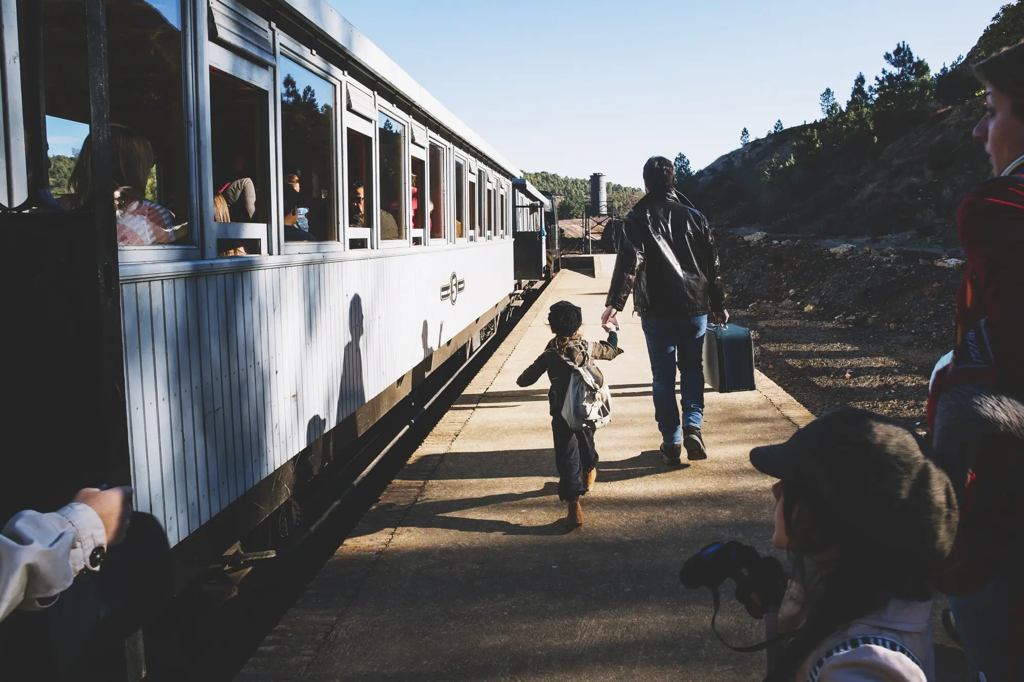

Across the Old Stone Ways of the Yorkshire Dales

Exploring historic packhorse routes between Yorkshire Dales settlements invites you onto time-worn tracks where low-parapet bridges, windswept moors, and bell-led caravans once stitched livelihoods together. We will connect stories, landscapes, and practical advice so you can trace these journeys today, meeting rivers, lanes, and friendly locals while learning how trade, faith, and grit shaped every mile under hoof.

Bridges, Fords, and the Language of Stone

From the Ure to the Swale and Wharfe, narrow arches and carefully placed stones reveal centuries of quiet traffic between scattered farmsteads and market towns. Notice the low parapets, the camber, and the tight, humpback spans; each architectural choice whispers of panniers brushing edges, single-file trains, and careful hooves choosing safety over speed when rivers ran high.

Caravans of Wool, Lead, and Lime

Before turnpikes and rails, strings of hardy galloways carried prosperity between dale-heads and booming towns. Bales of fleece, pigs of lead, and sacks of limestone or salt balanced carefully across wooden pack saddles. The lead horse wore a bell to steady pace and spirit, while the jagger steered routes by cloud, cairn, and memory.
At dawn, that gentle ringing rolled through mist like a heartbeat for the caravan. A farmer in Swaledale once told me his grandfather kept a brass bell on a beam, said to calm nervous colts. The rhythmic note stitched animals together, signaling movement, halts, and hope when sleet or fog erased the world.
Loads had to match perfectly: weight, shape, sway, and even the softness of the wrapping. A misjudged balance rubbed hair raw or sent a bag sliding dangerously on traverses. Experienced hands used wool, sacking, and knots with craft born of consequence, ensuring each horse carried fairly so the whole train reached market smiling.
Moorland weather could flick from blue to blinding in minutes. Jaggers learned to read curlew calls, peat-scented gusts, and the faintest glimmer on a stoop ahead. When storms closed in, they hugged lee sides or dropped to valley bottoms, trading miles for safety, trusting instinct, and sharing songs to keep hands warm.

Monastic Lanes and Market Days

Cistercian granges, industrious miners, and bustling fairs pulsed along these corridors. Mastiles Lane carried the Abbey’s sheep across limestone moor; Cam High Road bridged ages from Roman surveying to Dales traffic. Wool found looms, lead met smelters, and quicklime sweetened sour fields, while inns hummed with gossip about tolls, bargains, and tomorrow’s early start.
Walk the pale ribbon from Kilnsey toward Malham and you trace a clerical economy built on flocks and foresight. Monastic estates prized reliable lanes where hooves would not founder. Even now, the wind seems to carry psalms mixed with bleats, reminding wanderers that faith, pasture, and patient trade once shared the same horizon.
In Swaledale, ore left hushes and hush-scarred slopes strapped to horses bound for smelt mills. Southward, clamp kilns and field kilns turned limestone into powdery promise, then packs returned filled with soil medicine for upland farms. Follow their twinned paths and you feel enterprise looping back, nourishing hill and hamlet in rhythm.

Waymarks on the Moor

Even in fog, guides waited. Sturdy stoops carved with place-names, cairns grown lichen-bright, and the firm line of agger on old Roman ridges all coaxed travelers onward. Place-names whisper instructions too: gates, slacks, and rakes map slope and passage. Learning their grammar helps modern legs move wisely across heather, bog, and beck.

Cam High Road Above Wensleydale

Climbing from Bainbridge, the Roman geometry emerges: a straight, raised spine that catches sun and wind. Pack trains liked its firmness despite exposure, choosing visibility over tangle. Crest it in late light, and you may glimpse Ribblehead far off, ironwork against sky, a later age saluting an older, stubborn line.

Stoops, Arrows, and Place-Names

Craven’s tall waymarkers sometimes carry chiseled arrows and weathered lettering, directing travelers toward settlements and sanctuaries. Nearby names like Gate, Causeway, Slack, and Rake encode terrain and use. Carry a notebook, copy a carving, and compare maps later; decoding these hints turns any stroll into detective work guided by stone librarians.

Maps, Memory, and Spoken Directions

Before neat gridlines, navigators traded turn-by-turn lore at hearths: pass the hawthorn, keep the wall to shoulder, cross where trout flash. Try asking locals today; you will collect cherished variants that enrich any route. Combine oral breadcrumbs with modern maps and you inherit both precision and companionship on crest, clough, and lane.

Walk It Now: Practical, Respectful Adventures
Three Ready-to-Follow Ideas

Sample Mastiles Lane from Kilnsey to Malham Tarn and back for wide skies and limestone hush; try Cam High Road out-and-back from Bainbridge for big views; or link Reeth to Gunnerside and Muker along old miners’ lines. Share your favorite variations in the comments, and subscribe for monthly route cards refining these suggestions responsibly.

Leave No Trace on Fragile Ground

Sample Mastiles Lane from Kilnsey to Malham Tarn and back for wide skies and limestone hush; try Cam High Road out-and-back from Bainbridge for big views; or link Reeth to Gunnerside and Muker along old miners’ lines. Share your favorite variations in the comments, and subscribe for monthly route cards refining these suggestions responsibly.

Bridges Worth a Pause

Sample Mastiles Lane from Kilnsey to Malham Tarn and back for wide skies and limestone hush; try Cam High Road out-and-back from Bainbridge for big views; or link Reeth to Gunnerside and Muker along old miners’ lines. Share your favorite variations in the comments, and subscribe for monthly route cards refining these suggestions responsibly.

Keeping the Story Alive
Listen for family tales about a bell found in a loft, a grandfather who hauled lime, or a great-aunt who walked to market in clogs. Recording these stories honors local expertise. Share yours, ask questions, and together we will gather a living anthology that animates every ridge, beck, pasture, and porch bench.
Begin with first-edition Ordnance Survey sheets, then compare estate papers and monastic charters online. Sketch overlays, mark probable lines, and visit field boundaries to test hypotheses against drystone logic. Post your findings for friendly review; this exchange turns armchair sleuthing into weekend exploration, closing the gap between inked guesses and boot-won certainty.
Support rights-of-way teams, donate to conservation groups, and lend hands on waymarking days. Lead a gentle community walk that introduces a favorite bridge or causey. Invite newcomers respectfully, cultivating care along with curiosity. Comment here with projects to feature, and subscribe so your efforts ripple outward, strengthening every mile future walkers will cherish.